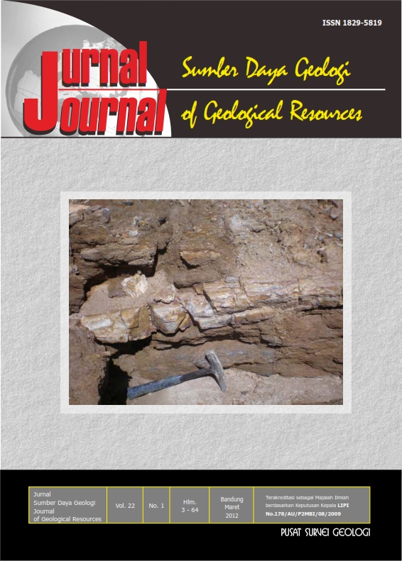
GUNUNG API PURBA DI DAERAH BAKAUHENI - PULAU SANGIANG,SELAT SUNDA, KABUPATEN LAMPUNG SELATAN
DOI:
https://doi.org/10.33332/jgsm.geologi.v22i1.102Abstract
Along the Merak - Bakauheni route, Sunda Strait, there are some island composing by Tertiary volcanic rocks. Relating to the plan of construction of Sunda Strait Bridge, several Tertiary and Quaternary volcanic islands at Merak – Bakauheni ferry route are examined as paleovolcanoes in order to evaluate their potential hazards. Methods that used in this study are remote sensing analyses of satellite image and topographic maps, and field geologic investigation. As results, three paleovolcanoes are recognized, namely Harimaubalak, Kandangbalak and Sangiang. To understand the history of their volcanic activities radiometric analyses are required. Those three paleovolcanoes are located in a line having NW – SE direction, considered as a weak zone because the pattern similarity with the active Sumatran fault system. To anticipate the possibilities of opening new vents or reactivated eruptions from the weak zone it is suggested to make further studies on seismicity, tectonic analyses, and the present of sub surface hot sources.
Key words : bakauheni, harimaubalak, paleovolcano, sangiang, sunda strait, lampung
Downloads
References
Acoccella, V. and Neri, M., 2003. What makes flank eruptions ? The 2001 Etna eruption and its possible triggering mechanisms, Bulletin Volcanology, 654, 517-529.
Andi Mangga, S., Amiruddin, Suwarti, T., Gafoer, S. dan Sidarto, 1994. Geologi Lembar Tanjungkarang, Sumatera, sekala 1 ; 25.000. Pusat Penelitian dan Pengembangan Geologi, Bandung, 91 h.
Bronto, S., 2006. Fasies gunung api dan aplikasinya, Jurnal Geologi Indonesia, 1 (2), 59-71.
Bronto, S., 2010. Geologi Gunung Api Purba, Badan Geologi, Kementerian Energi dan Sumber Daya Mineral, Bandung, 154.
Bronto, S., Asmoro, P., Hartono, G. dan Sulistiyono, S., 2011. Evolusi Gunung Api Rajabasa di Daerah Kalianda dan sekitarnya, Kabupaten Lampung Selatan, Jurnal Geologi Indonesia (in press).
Bronto, S. dan Setianegara, R., 2011. Ancaman bahaya letusan gunung api skala besar dan monogenesis di Indonesia, Jurnal Sumber Daya Geologi, 21 (1), 29-40.
Ferari, 1995. Data base for assessment of volcano capability, IAEA, contract BC: 100.1010.5410.241.I.201.94CL9070.
Katili, J.A., 1975. Volcanism and Plate Tectonics in the Indonesian island arcs, Tectonophysics, 26, 165-188.
Martodjojo, S., 2003. Evolusi Cekungan Bogor, Jawa Barat, Penerbit ITB, Bandung, 238.
Santosa, S., 1991. Peta Geologi Lembar Anyer, Jawa, sekala 1:100.000. Pusat Penelitian dan Pengembangan Geologi, Bandung.
Simkin, T. and Fiske, R.S., 1983. Krakatau 1983: The volcanic eruption and its effects, Smithsonian Institution Press, Washington, D.C., 464.
Sutawidjaja, I.S., 2006. Pertumbuhan Gunung Api Anak Krakatau setelah letusan katastrofis 1883, Jurnal Geologi Indonesia, 1(3), 143-153.
Van Bemmelen, R.W., 1949. The Geology of Indonesia, Vol. IA, Martinus Nijhoff, the Hague, 732 p.
Downloads
Published
Issue
Section
License
Authors who publish articles in Jurnal Geologi dan Sumberdaya Mineral (JGSM.Geologi) agree to the following terms:
- Authors retain copyright of the article and grant the journal right of first publication with the work simultaneously licensed under a CC-BY-NC or The Creative Commons Attribution–ShareAlike License.
- Authors are able to enter into separate, additional contractual arrangements for the non-exclusive distribution of the journal's published version of the work (e.g., post it to an institutional repository or publish it in a book), with an acknowledgment of its initial publication in this journal.
- Authors are permitted and encouraged to post their work online (e.g., in institutional repositories or on their website) prior to and during the submission process, as it can lead to productive exchanges, as well as earlier and greater citation of published work (See The Effect of Open Access)


