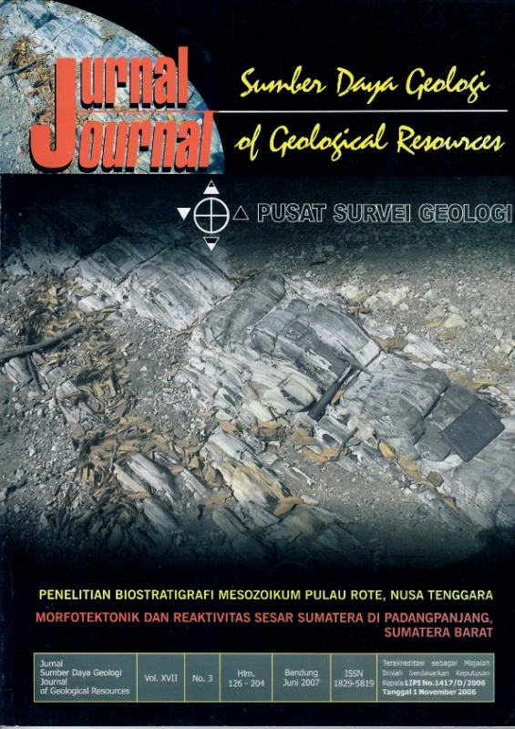
MORFOTEKTONIK DAN REAKTIVITAS SESAR SUMATERA DI PADANGPANJANG, SUMATERA BARAT
DOI:
https://doi.org/10.33332/jgsm.geologi.v17i3.289Abstract
Studies on tectonic morphology in the Sumatera fault zone at Padangpanjang segment by using lineament analysis on transect and landsat image have recoqnized some tectonic landform features. These features are among others,curvature of Kubu ridge line, eroded faultscarp, alignment of Kayutanduk sagpond, Kotobaru sagpond, Talago sagpond, Tanang River, and Airanget and Gadis River fault valley at Batipuh village and surrounding area.
Â
Keywords : tectonic landform, morphostructure, morphotectonicDownloads
References
Hahn. L. dan Weber. H.S. 1981. Geological Map of West Central Sumatera, scale 1:250.000, Hannover, Germany.
Kastowo dkk., (1997). Peta Geologi Lembar Padang, Sumatera, skala 1:250.000, Pusat Penelitian dan Pengembangan Geologi, Bandung.
Katili, J A and Hehuwat. 1967. On the occurrence of large transcurrent faults in Sumatera, Indonesia. Geosciences J Osaka 10:5-17.
Poedjoprajitno, S., Kamawan, U.M. Lumbanbatu., 2004. Peta Geomorfologi, Lembar Bukittinggi, Sumatera Barat, skala 1:100.000, Pusat Penelitian dan Pengembangan Geologi, (Unpublishh) Bandung.
Poedjoprajitno, S., Kamawan., Suharsono., 2005. Penelitian Morfostruktur Daerah Padangpanjang dan Sekitarnya, Sumatera Barat, skala 1:100.000, Puslitbang Geologi (Unpublish), Bandung.
Solihin A, I. Kusnadi, W. Irawan dan Rudi., 1922., Laporan pemetaan Gunung api Marapi, Sumatera Barat, Dir. Bencana Alam Geologi, Bandung.
Tjia, H D. 1977. Tectonic depressions along the transcurrence Sumatera fault zone. Geol. Indon 4:13-27. Van Bemmelen, R.W., 1949, The Geology of Indonesia, v.IA Genereal Geology, The Hague, Martinus Nijhof.
Verstappen, H. Th., 1973. A geomorphological reconnaissance of Soematra and adjacent island (Indonesia), ITC, The Netherlands 182.
Verstappen, H Th. 2000. Outline of the Geomorphology of Indonesia. A case study on tropical geomorphology of a tectogene region, ITC-Division of Applied Geomorphological Survey (AGS) , The Netherlands.
Zainuddin, A. Munandar, Y. Sasongko, E. Kriswanti, Kusdaryanto, M. Sumaryadi, 1996., Pemetaan Geologi Gunung api Tandikat, Kab Padang dan Kab. Agam, Prop. Sumatera Barat, Dir. Vulkanologi, Bandung.
Downloads
Published
Issue
Section
License
Authors who publish articles in Jurnal Geologi dan Sumberdaya Mineral (JGSM.Geologi) agree to the following terms:
- Authors retain copyright of the article and grant the journal right of first publication with the work simultaneously licensed under a CC-BY-NC or The Creative Commons Attribution–ShareAlike License.
- Authors are able to enter into separate, additional contractual arrangements for the non-exclusive distribution of the journal's published version of the work (e.g., post it to an institutional repository or publish it in a book), with an acknowledgment of its initial publication in this journal.
- Authors are permitted and encouraged to post their work online (e.g., in institutional repositories or on their website) prior to and during the submission process, as it can lead to productive exchanges, as well as earlier and greater citation of published work (See The Effect of Open Access)


