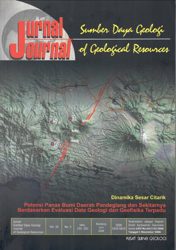
POTENSI PANAS BUMI DAERAH PANDEGLANG DAN SEKITARNYA BERDASARKAN EVALUASI DATA GEOLOGI DAN GEOFISIKA TERPADU
DOI:
https://doi.org/10.33332/jgsm.geologi.v18i3.261Abstract
Intergrated geological and geophysical informations provide ilustration of subsurface geology of the researched area. Result of gravity modelling of the study area show several grabbens and intrusives. This structures would probably be act as trap of a geothermal potential. The young intrusive rocks beneath the Gunung Karang is interpretated as a heat sources, while the Tertiary sedimentary rocks could possibly be a reservoir. The altered volcanic rocks widely exposed in the study area may presence as a caprock. The possibility of geothermal energy potential is also indicated by the area.occurrence of several of springs exposed in the area.
Keywords: intergrated geophysical information, subsurface geological structure, geothermal
Downloads
References
Adkins J., Sukardi S., Said H., and Untung M., 1978. A Regional Gravity Base Station Network for Indonesia, Publikasi Teknik Seri Geoftsika No.6, Direktorat Geologi Bandung.
Nasution, J., Dan Djaswadi, 1.,1997. Peta Anomali Bouguer Lembar Serang, Jawa, Puslitbang Geologi, Bandung.
Pedley, R. C., 1991. Interactive 2.5 D Gravity and Magnetic Modelling Program (Graymag), User Manual, British Geological Survey, Keyworth, Notingham.
Rusmana, E., Suwitodirdjo, K., Dan Suharsono, 1991, Peta Geologi Lembar Serang, Jawa, Puslitbang Geologi, Bandung.
Subagio, 2006. Deliniasi Cekungan Dangkal Daerah Serang dan Sekitarnya Dengan Metoda Gaya berat, Laporan Akhir, Tidak diterbitkan, Pusat Survei Geologi
Sudarman, S., 1985, Sub-Surface Interpretation at Proposed First Deep Wellsite Citaman Geothermal Area, Banten, West Java, Proceedings Indonesian Petroleum Association, Fourteenth Annual Convention.
Downloads
Published
Issue
Section
License
Authors who publish articles in Jurnal Geologi dan Sumberdaya Mineral (JGSM.Geologi) agree to the following terms:
- Authors retain copyright of the article and grant the journal right of first publication with the work simultaneously licensed under a CC-BY-NC or The Creative Commons Attribution–ShareAlike License.
- Authors are able to enter into separate, additional contractual arrangements for the non-exclusive distribution of the journal's published version of the work (e.g., post it to an institutional repository or publish it in a book), with an acknowledgment of its initial publication in this journal.
- Authors are permitted and encouraged to post their work online (e.g., in institutional repositories or on their website) prior to and during the submission process, as it can lead to productive exchanges, as well as earlier and greater citation of published work (See The Effect of Open Access)


