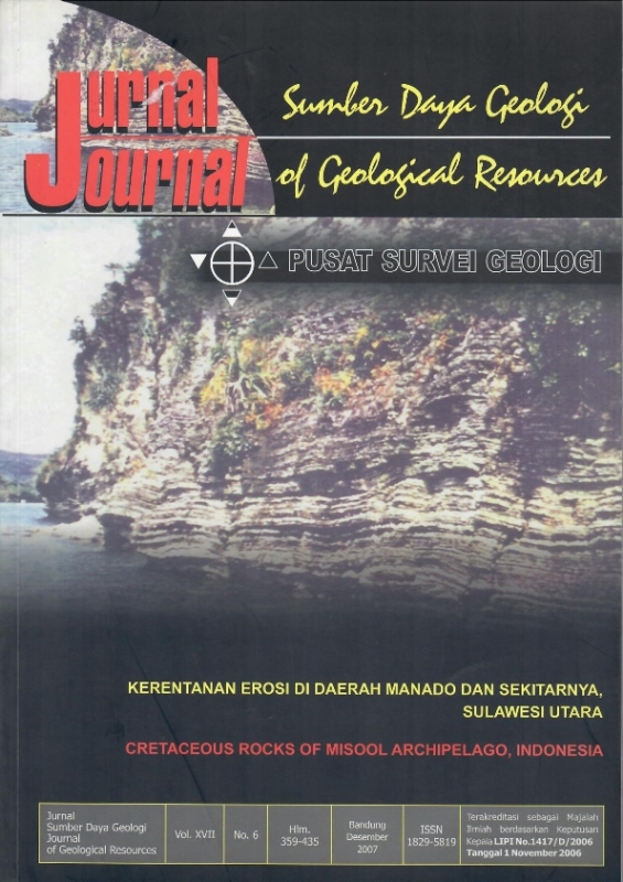
KERENTANAN EROSI DI DAERAH MANADO DAN SEKITARNYA, SULAWESI UTARA
DOI:
https://doi.org/10.33332/jgsm.geologi.v17i6.316Abstract
Evolution cycle of landform in Manado and surrounding area is caused by weathering, erosion, transportation, sedimentation, and human factors. These processes have occurred since the land existence, and theywere strongly accelerated  by human activities.
Based on slope level, soil/rock type, vegetation/land covers, and erosion type, the erosion susceptibility in the studied area can be grouped into: high, medium, low, and no erosion.
Very high erosion occurs on landform of volcanic cone a and b, volcanic slope a and b, mountain dissected volcanic slope and dissected straight volcanic mountain. High erosion occurs on landform of solfatara field, fumarola, volcanic foot slope b, volcanic mountain slope elongated dissected, volcanic slope c, residual hill and lava flow. Medium erosion occurs on landform of volcanic foot slope a and alluvium fan. Lowerosion occurs on landform of volcanic foot slope c, intermountain plane and flood plain. No erosion occurs on landform of alluvial.
Keyword: erosion succeptibility, Manado, weathering, transportation, sedimentation
Downloads
References
Effendi, A.C, Bawono, S.S., 1977. Peta Geologi Lembar Menado, Sulawesi Utara skala 1 : 250.000, Pusat Penelitian dan Pengembangan Geologi Bandung.
Suharsono, 2002. Pemetaan Geomorfologi Lembar Menado, Provinsi Sulawesi Utara. Pusat Penelitian dan Pengembangan Geologi Bandung. Laporan interen.
Van Zuidam,R.A, 1985, Aerial photo Interpretation in Terrain Analysis and Geomorphologic Mapping, ITC, Smith Publishers The Hague.
Setiawan, J.H, Lumbanbatu, U.M dan Poedjoprajitno, S. 2002. Peta pola sebaran struktur sesar aktif daerah Danau Tondano dan sekitarnya. Pusat Penelitian dan Pengembangan Geologi Bandung. Laporan intern.
Downloads
Published
Issue
Section
License
Authors who publish articles in Jurnal Geologi dan Sumberdaya Mineral (JGSM.Geologi) agree to the following terms:
- Authors retain copyright of the article and grant the journal right of first publication with the work simultaneously licensed under a CC-BY-NC or The Creative Commons Attribution–ShareAlike License.
- Authors are able to enter into separate, additional contractual arrangements for the non-exclusive distribution of the journal's published version of the work (e.g., post it to an institutional repository or publish it in a book), with an acknowledgment of its initial publication in this journal.
- Authors are permitted and encouraged to post their work online (e.g., in institutional repositories or on their website) prior to and during the submission process, as it can lead to productive exchanges, as well as earlier and greater citation of published work (See The Effect of Open Access)


